
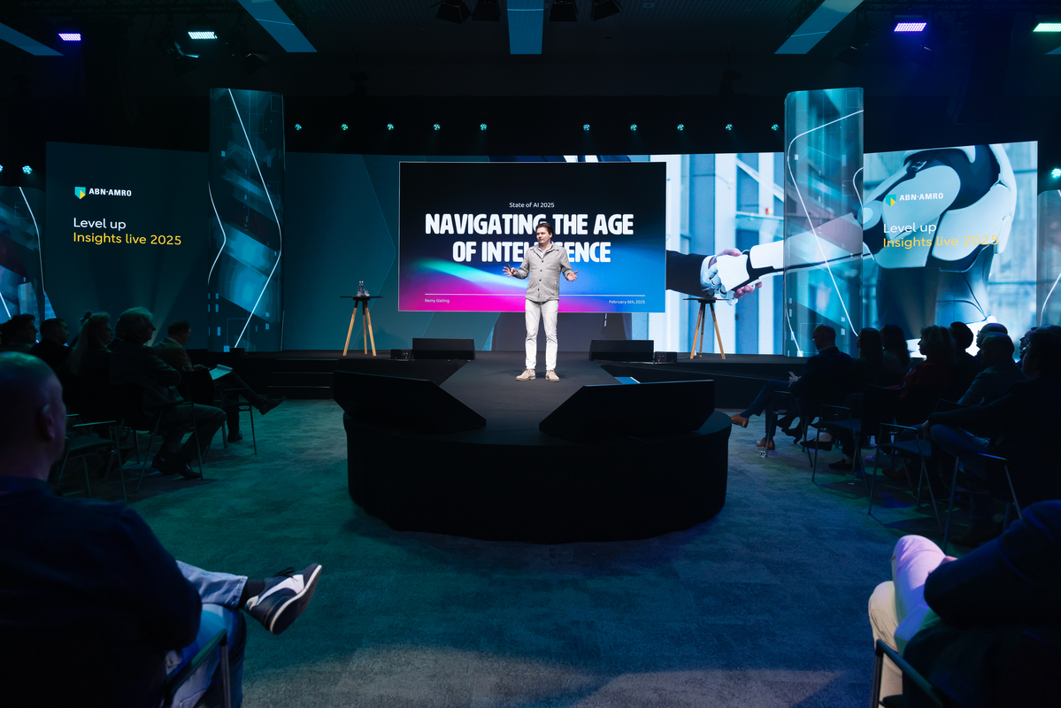
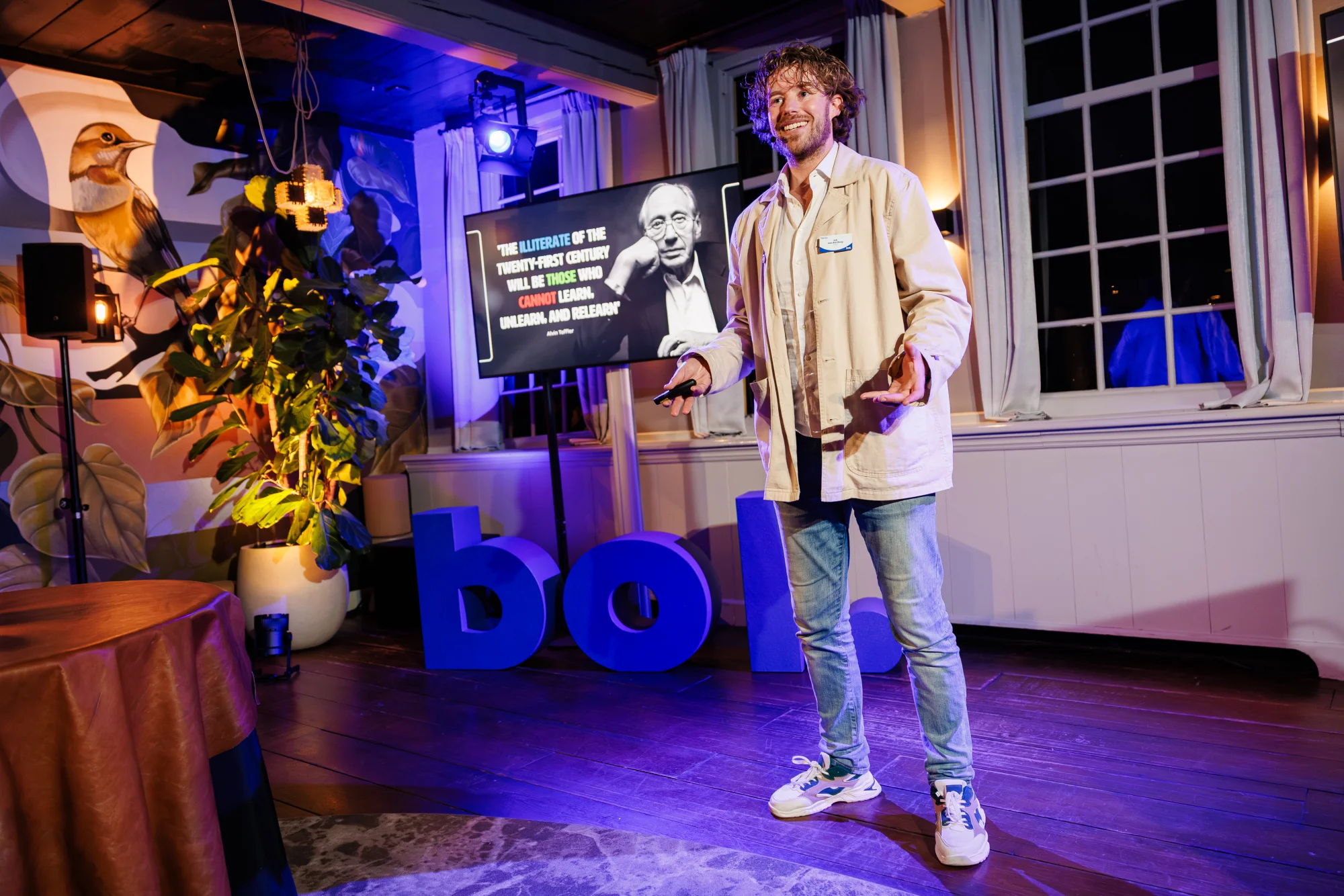


Job van den Berg
Mede-oprichter · AI Keynote Spreker & Techondernemer
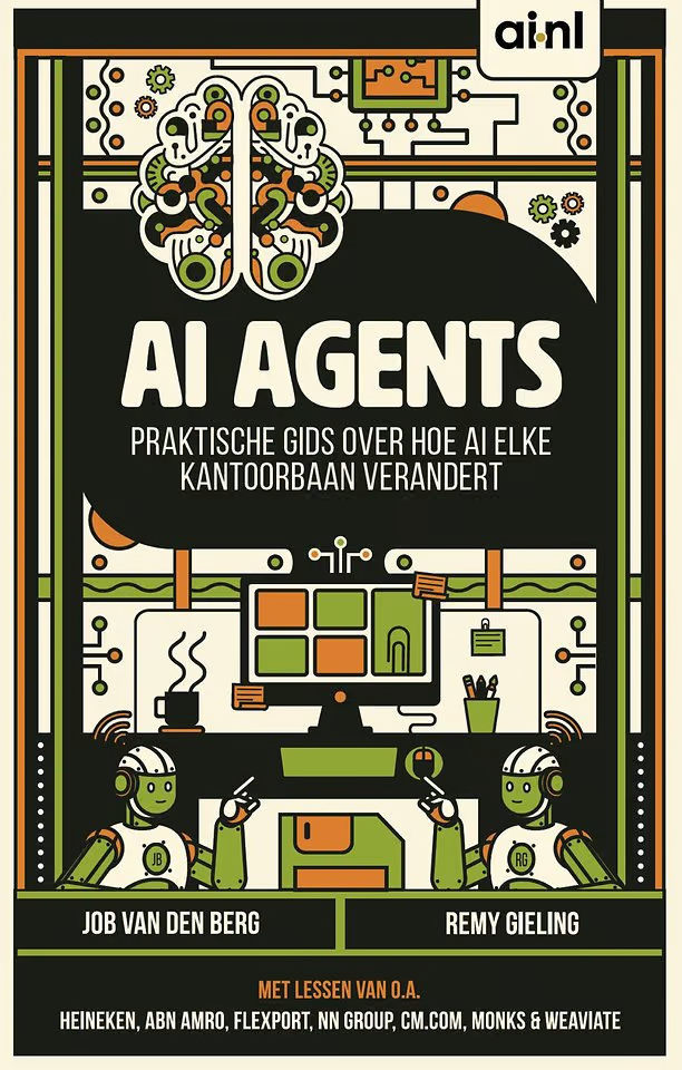
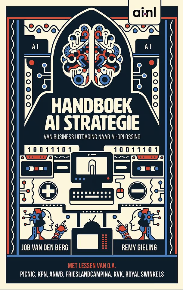
Tech-ondernemer (1989) met een achtergrond als socioloog (Research Master (MSc) in statistiek en sociologie) en een van de meest gevraagde keynote sprekers over AI en data in Nederland. Als mede-oprichter van Ai.nl, The Automation Group en Proxies leidt hij engineers die agentic AI van prototype naar productie brengen binnen enterprises. Op het podium vertaalt Job die hands-on praktijk naar concrete strategieën. Eerder was Job Chief Data bij o.a. DPG Media en Kantar. Hij is co-auteur van 5 boeken over AI waaronder 'AI Agents' en 'Handboek AI Strategie' en een veelgevraagd expert in de landelijke media.